

Building in Montello
A compact hillside suburb 2km above Burnie CBD — Bass Strait views, Burnie Park on the doorstep, and genuine walkability in one of the city's most established neighbourhoods.
Above the City, Below the Sky
Montello sits on the hillside immediately above Burnie — about 2km south-west of the CBD, rising to approximately 130 metres above sea level at its highest streets. From the upper reaches of Jorgensen and Tattersall Streets, the view sweeps north across the city rooftops and out to Bass Strait. It's the kind of elevated position that has driven architects to design some of their most considered work: framing the water, catching the northern light, sheltering from the westerly.
With a population of approximately 1,241 (ABS 2021) across 0.7 square kilometres, Montello is one of the most compact suburbs in the City of Burnie. Its median age of 40 and predominance of couples in the 50–59 age group reflect a suburb that has matured alongside its residents — a community of long-term owner-occupiers who chose Montello for its views, its walkability, and its proximity to the city without the city's noise.
Montello's origins trace to around 1903, when the Van Diemen's Land Company named the hills in Burnie's hinterland. The suburb was gazetted in 1966, having developed in the post-war decades as government housing for workers in Burnie's heavy industries. Streets like Jorgensen Street — named for Jørgen Jørgensen, who worked for the VDL Company in the 1820s — carry this layered history. Today the suburb's working-class heritage has given way to a quiet, well-connected residential community.
Because Montello is fully established — all of its roughly 0.7 sq km developed — new builds are exclusively knockdown-rebuilds. This concentrates the suburb's appeal for those who want a contemporary home with retained Burnie character: the setting, the views, and the walkability, with architecture that matches the quality of the site.

Why People Choose Montello
Bass Strait Views
The upper streets of Montello — Jorgensen, Tattersall, View Road — sit at up to 130m above sea level, with unobstructed northward views across Burnie to Bass Strait. These elevated city-and-sea outlooks are among the most sought-after in the Burnie area.
Burnie Park
One of the Burnie area's most significant parklands — rose garden, Oldaker Falls waterfall with a natural rainforest walking trail, children's playground, music shell, and BBQ facilities. Accessible on foot from Montello's lower streets.
Burnie MTB Park
Grandview Avenue, Montello — pump track, three downhill mountain bike trails, and dirt jumps, all maintained by Burnie City Council. A genuine recreational asset within the suburb's boundaries, not just nearby.
Walkable to CBD
With a Walk Score of 59, Montello is among the most walkable neighbourhoods in the Burnie area. The CBD is 2km downhill — a 20-minute walk or a 5-minute drive. North West Regional Hospital, retail, and Burnie waterfront are all accessible without a car.
Montello Primary School
83 Bird Street, Burnie — a government primary school within the suburb. Hellyer College (Year 11–12, with TAFE Tasmania co-located) is a short distance away on Mooreville Road, rounding out an accessible education pathway from primary through senior secondary.
Knockdown-Rebuild Opportunity
Montello's fully established character means the market moves slowly — when older housing stock becomes available for replacement, it presents an opportunity for a contemporary home on an already well-located, serviced block with established views.
What to Know About Building in Montello
Montello falls under City of Burnie Council's jurisdiction. Planning is assessed under the Tasmanian Planning Scheme and the Burnie City Local Provisions Schedule (LPS), which commenced on 22 July 2020. Building in Montello is rewarding but site-specific — here's what to understand:
- Permitted development applications are typically assessed within 28 days under the Burnie City LPS.
- Montello is a hillside suburb. Many sites have significant gradient — confirm slope and soil conditions with a geotechnical assessment before purchase. Steep-site construction typically involves cut-and-fill earthworks, retaining walls, or pier-and-beam subfloor systems, all of which add to project cost. Davies is experienced in sloping-site design and can provide a realistic cost picture from the first feasibility conversation.
- The elevated position that delivers the views also means more exposure to Burnie's prevailing westerlies. Wind-driven rain is a real design consideration — detailing for weather resistance is important at this elevation. Passive design principles (orientation, thermal mass, airtight construction) deliver significant comfort and energy efficiency gains at Montello's altitude.
- Nearly all new builds in Montello are knockdown-rebuilds. This involves a demolition phase, council approval for demolition, and potential asbestos management in older housing stock. Davies handles the full demolition-to-build process and can manage this pathway from initial feasibility.
- Montello is classified within NCC Climate Zone 7 — Tasmania's coldest mainstream residential zone. A well-designed home here significantly benefits from higher insulation levels, double or triple glazing, and airtight construction. We routinely design to exceed minimum NatHERS requirements on any Burnie-area build.
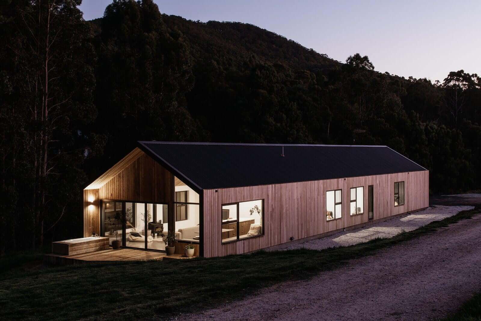
Our Sheffield base is about 50–55 minutes south-east of Montello. Sloping sites and elevated builds are a speciality — our Barn House Penguin and Mill Corner Longhaus demonstrate what precision construction achieves on complex Tasmanian sites.
Davies Projects in the Region
Our portfolio includes exceptional homes along the north-west coast — each one a demonstration of what's possible when great design meets precise construction.
Montello Building FAQ
How much does it cost to build in Montello?+
Does Davies Construction build custom homes in Montello?+
What is the planning process for building in Montello?+
What makes Montello a good suburb to build in?+
Also building in
North-West Coast & Hinterland
Tamar Valley & Launceston
Midlands & East Coast
Southern Tasmania