Building in Don
Riverside community of 634 residents on the Don River — one of the oldest settled areas on the north-west coast and home to the heritage Don River Railway since 1976.
River, Heritage, and Village Character
Don sits on the western bank of the Don River where it meets Bass Strait — approximately 8 kilometres west of Devonport. The community numbers approximately 634 residents (ABS 2021), with owner-occupancy at around 88%. Don predates Devonport as a settled place on the north-west coast: a timber mill and wharf were established here around 1854, several years before the western bank of the Mersey River was formally laid out as a town. Henry Hellyer, the Van Diemen's Land Company surveyor who explored the region in the late 1820s, named the Don River after the river of the same name in Scotland.
The Don River Railway — operating since 1976 — is the community's most significant attraction and cultural asset. Tasmania's largest heritage railway collection, it runs steam and diesel locomotives along the river bank to Coles Beach at the coast. Don Village Market operates from the railway reserve, and the Don Cricket Club, established in 1871, is one of the oldest continuously operating sporting clubs in the north-west. At the river mouth, Don Heads is a distinctive formation of columnar basalt — hexagonal columns of lava formed by ancient volcanic activity — that provides a dramatic coastal backdrop and a point of genuine geological interest.
For those considering building, Don offers what very few communities can: a genuine sense of historical depth combined with a practical location close to Devonport's full range of services. The Bass Highway is 5 minutes away. The 88% owner-occupancy rate reflects a settled community where people come to stay, not pass through. It is a riverside village with the quiet and the character to match.
Davies has been building across the north-west coast since 2009. Don is approximately 25 minutes from our Sheffield base via the B14. We understand the Don River flood overlay requirements, the site-specific considerations that come with riverside building, and the planning environment administered by Devonport City Council.
Why People Choose Don
Heritage Don River Railway
The Don River Railway has operated since 1976 and holds Tasmania's largest heritage railway collection — steam locomotives, diesel engines, carriages, and rolling stock spanning the 19th and 20th centuries. It runs from the Don station along the river bank to Coles Beach at the coast. The railway is the community's most prominent cultural asset and a significant regional tourism draw. Don Village Market operates from the railway reserve.
Don Heads and Coles Beach
At the river mouth, Don Heads is a distinctive formation of columnar basalt — hexagonal lava columns formed by ancient volcanic activity. This geological landmark anchors the coastal boundary of the community and is a point of real natural interest. Coles Beach, accessible from the Don River Railway terminus, provides a swimming and recreation destination directly from the community without the need to drive.
Village Character, City Access
Don is a genuine village — 634 residents, low through-traffic, high owner-occupancy — within 10 minutes of Devonport's hospital, TAFE, supermarkets, and Bass Strait transport links. This combination of rural-residential character with immediate access to a regional city's full services is unusual on the north-west coast. Most coastal communities with Don's quiet character are significantly further from services.
Historical Depth
Don predates Devonport as a settled place on the north-west coast. A timber mill and wharf were operational here around 1854 — the Don settlement was producing and exporting timber before Devonport existed as a gazetted town. The Don Cricket Club was established in 1871. Don Oval hosts local football and rugby. This historical layering gives the community a depth of character that newer residential areas cannot replicate.
Don River Reserve and Riverside Living
The Don River corridor provides a riparian reserve with fishing, kayaking, and passive recreation from within the community. The low-density, low-traffic character of Don's residential streets makes for a quiet day-to-day environment. For those seeking rural-residential amenity near the coast without the commute of more remote locations, Don is a practical and underappreciated option.
88% Owner-Occupancy
Don's owner-occupancy rate of approximately 88% (ABS 2021) is among the highest recorded for any suburb in the north-west coast region. This figure reflects a settled, long-term community with genuine investment in place. For prospective builders, it signals a stable neighbourhood with low investor churn and neighbours who have made a similar long-term commitment to the area.
What to Know About Building in Don
Don falls under Devonport City Council, which administers the Tasmanian Planning Scheme — Devonport City Local Provisions Schedule (commenced 18 November 2020). Applications are lodged with and assessed by Devonport City Council. Here's what prospective builders need to understand about building in Don:
- The Don River flood hazard is the most significant planning consideration for river-adjacent properties. TAS SES publishes a specific Don River Flood Guide covering inundation scenarios for the Don River valley. Properties within the flood zone may be subject to a Flood Prone Area overlay requiring minimum finished floor levels and potentially a site-specific Flood Risk Assessment. Always check the applicable overlays via PlanBuild Tasmania before purchasing land near the river bank.
- Coastal overlays at the river mouth: properties near Don Heads or directly adjacent to Bass Strait may also be subject to Coastal Erosion Hazard or Coastal Inundation Hazard overlays under the State Planning Provisions. These overlay boundaries are mapped in PlanBuild Tasmania — verify any lot's position relative to these overlays as part of your pre-purchase due diligence.
- Reticulated sewerage may not be available in Don. Some properties use existing onsite systems; new builds will require an Onsite Wastewater Management System (OWMS) if reticulated sewerage is absent. Budget $15,000–$30,000 for OWMS installation depending on soil conditions, site access, and system type. Confirm infrastructure status for any specific lot with Devonport City Council prior to purchase.
- Don's residential character is low-density and predominantly rural-residential. The planning zone for many allotments in Don limits building scale and density — check the applicable zone provisions before assuming a lot will carry a large footprint or dual-occupancy arrangement.
- Coastal construction near the river mouth requires appropriate specification: marine-grade fixings, corrosion-resistant hardware, and durable external materials that will withstand salt-laden air from Bass Strait. A home built to a proper coastal standard will have a longer service life and lower ongoing maintenance costs than one that cuts corners on specification.
- Davies is approximately 25 minutes from Don via the B14. We have completed work in the Don River corridor, understand the flood overlay requirements, and can provide practical guidance on site feasibility before you commit to any land purchase here.
A well-chosen allotment in Don — set back appropriately from the river, above the flood zone, and built to a proper standard — is a genuine long-term asset in one of the most historically rich and community-stable locations on the north-west coast.
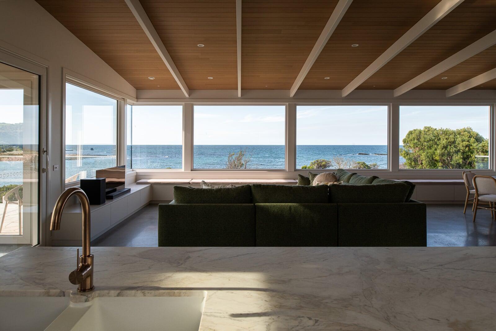
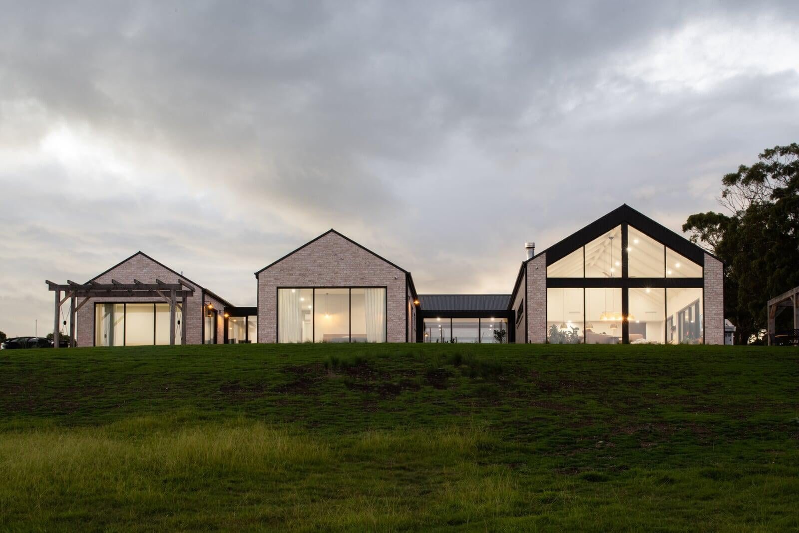
Davies Projects in the Region
Our portfolio spans the Don River corridor and north-west coast — riverside homes, coastal projects, and custom builds designed for the local environment.
Don Building FAQ
What is Don like to live in?+
How much does it cost to build in Don?+
What are the planning requirements for building in Don?+
Does Davies Construction build in Don?+
Also building in