

Building in Moriarty
Small rural community 14 kilometres east of Devonport — productive agricultural country, generous land parcels, and the quiet of the Latrobe hinterland.
Rural Hinterland East of Devonport
Moriarty is a small rural community in northern Tasmania with a population of 245 (ABS 2021, SAL60424), located approximately 14 kilometres east of Devonport in the Latrobe Council local government area. The community is accessed from the Bass Highway via Moriarty Road (C702) and Oppenheims Road (C704), sitting between the Devonport coast and the rising country of the Meander Valley foothills. It is one of several smaller rural residential nodes within the Latrobe Council area — alongside Wesley Vale, Sassafras, and Thirlstane — that provide an alternative to the coastal and town-centre addresses of Port Sorell, Shearwater, and Latrobe itself.
The community takes its name from Miss Lucinda Moriarty, who settled in the area in 1836. Her brother, Captain William Moriarty, had taken up approximately 200 acres in the district around 1835 — an early colonial land grant that reflects the agricultural productivity of this stretch of northern Tasmania. The surrounding country remains in productive use today, with the agricultural character of the landscape forming a backdrop to the rural residential properties of the community.
Moriarty sits in a position of practical convenience despite its rural character. Devonport — with its hospital, supermarkets, TAFE, and regional commercial services — is approximately 14 kilometres to the west. The Spirit of Tasmania ferry terminal in Devonport is similarly accessible. Latrobe, with its own services and the Latrobe Council headquarters, is also within easy reach. The Bass Highway provides a direct connection to both Devonport and, to the east, to Launceston. For households seeking a rural residential lifestyle without long commutes or genuine service isolation, Moriarty occupies a practical middle ground.
Davies has been building in the Latrobe Council area since our founding in 2009. Moriarty is approximately 35–38 minutes from our Sheffield base — within our core Devonport and Latrobe region service area. We are experienced with the Latrobe Local Provisions Schedule and with the rural residential site considerations that apply to properties in this part of northern Tasmania.
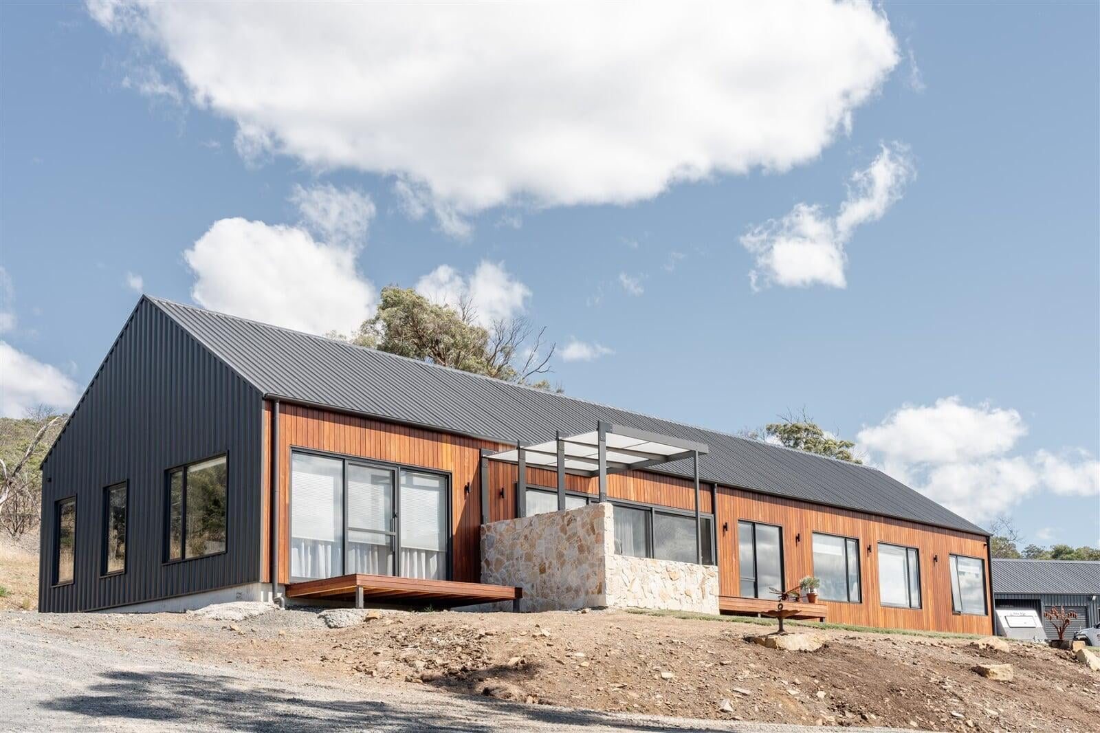
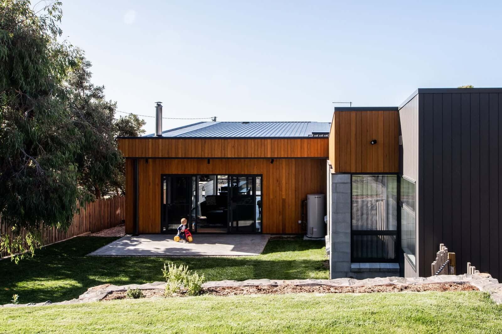
Why People Choose Moriarty
Generous Rural Land Parcels
Properties in Moriarty and surrounding Latrobe rural nodes typically offer significantly larger land areas than suburban allotments — the kind of space that allows for large gardens, outbuildings, a home workshop, or hobby farming without the full commitment of a working agricultural property. For households that value space and privacy but still want a custom-built home rather than a renovation project, rural residential nodes like Moriarty provide a practical combination.
14 km from Devonport
Devonport is approximately 14 kilometres to the west — reachable via the Bass Highway in under 20 minutes. This gives Moriarty residents access to the full range of Devonport services: Northwest Private Hospital, North West Regional Hospital, Woolworths and Coles supermarkets, TasTAFE, and the Spirit of Tasmania terminal. Day-to-day service access is genuine, not aspirational. For the distance involved, the convenience is real.
Agricultural Landscape and Hinterland Character
Moriarty sits in productive farming country between the coast and the Meander Valley. The landscape is open — paddocks, tree lines, grazing cattle — with the kind of wide views and natural quiet that define the Tasmanian hinterland. The surrounding farmland is unlikely to be developed in any meaningful way, which means the rural character of the locality is structurally preserved. If you want to build in a place that will still look and feel rural in 20 years, this landscape is more durable than a growth suburb's paddock fringe.
Privacy and Separation from Suburban Growth
Moriarty is not on a growth corridor. It is not slated for major subdivision or urban expansion. Its classification under the Latrobe LPS as a smaller rural residential node reflects its intended long-term scale. For households seeking to build a private home with real separation from suburban neighbours — and real confidence that the paddock view out the back won't be subdivided in five years — Moriarty's planning context provides that security.
Latrobe Council Service Area
Moriarty falls within Latrobe Council — a council that administers an area encompassing Port Sorell, Shearwater, Hawley Beach, and Latrobe town. Council rates and services reflect a mixed rural/coastal portfolio. For builders, the relevant planning scheme is the Latrobe Local Provisions Schedule (commenced 10 May 2023) — a relatively recently commenced LPS that provides a contemporary framework for residential development decisions.
Community Connected to Latrobe's Broader Network
As part of the Latrobe Council area, Moriarty residents connect into the network of schools, sporting clubs, and community organisations spread across the broader Latrobe district. Latrobe town itself has a distinctive heritage character with a recognised main street precinct; the Latrobe Wheel Race is one of the oldest cycling events in Tasmania. The community fabric of the Latrobe district is well-established and accessible without requiring the anonymity of a larger urban centre.
What to Know About Building in Moriarty
Moriarty falls within the Latrobe Council local government area under the Tasmanian Planning Scheme — Latrobe Local Provisions Schedule, which commenced on 10 May 2023. Building permits are lodged with and assessed by Latrobe Council. Key considerations for prospective builders:
- Moriarty is classified as a smaller rural residential node under the Latrobe LPS. Land in the locality is primarily zoned Rural under the LPS. The Rural zone permits single dwellings on existing lots subject to zone provisions for setbacks, site coverage, and building height, but restricts subdivision to very limited circumstances. Confirm the zone and any applicable overlays for a specific allotment via PlanBuild Tasmania before purchase.
- The Bushfire-Prone Areas Code applies within the Latrobe LPS. Moriarty's rural setting, with properties abutting farmland and native vegetation, means individual allotments may fall within the bushfire-prone overlay. Bushfire-prone status triggers additional requirements for building design, construction, and asset protection zones (APZs) that affect site layout and dwelling design. Check individual allotment overlay status on LISTmap or PlanBuild Tasmania before purchase.
- Moriarty is a rural locality without reticulated sewer. New dwellings require an on-site wastewater system (septic or OSSM) compliant with the Environmental Management and Pollution Control Act and any applicable planning conditions. Site area, soil permeability, groundwater depth, and setbacks from any waterways or drainage lines all affect system type and cost. Factor this into pre-purchase due diligence.
- Agricultural interface considerations may apply to rural residential development proposals in Moriarty. Properties adjacent to actively farmed land may be subject to agricultural interface provisions under the Latrobe LPS that govern setbacks from boundaries shared with working farms — intended to manage spray drift, noise, and odour conflicts between residential and agricultural uses. Confirm any agricultural interface provisions with Latrobe Council before finalising a design.
- Reticulated water may not be available in all parts of Moriarty. Confirm water supply availability with TasWater before purchase; properties without reticulated water access will need rainwater tank capacity or bore water systems, which add to construction cost and site planning requirements.
- Davies is approximately 35–38 minutes from Moriarty from our Sheffield base. We build throughout the Latrobe Council area and are experienced with the Latrobe Local Provisions Schedule as it applies to rural residential development in nodes like Moriarty.
Moriarty offers a genuinely rural residential lifestyle within practical reach of Devonport's services — generous land, agricultural character, and a planning context that preserves the community's rural scale. For households who want the space and quiet of the Tasmanian hinterland without giving up the convenience of a regional city nearby, it is a location worth considering.
Davies Projects in the Region
Our portfolio spans the Devonport region, the north-west coast, and beyond — custom homes, high-performance builds, and award-winning residential projects designed for the Tasmanian climate.
Moriarty Building FAQ
What is Moriarty like to live in?+
How much does it cost to build in Moriarty?+
What are the planning requirements for building in Moriarty?+
Does Davies Construction build in Moriarty?+
Also building in
North-West Coast & Hinterland
Tamar Valley & Launceston
Midlands & East Coast
Southern Tasmania