

Building in Heybridge
Coastal village on the Bass Highway where the Blythe River meets Bass Strait — between Burnie and Penguin on Tasmania's north-west coast.
Where the Blythe River Meets the Bass Strait
Heybridge is a small coastal village on Tasmania's north-west coast with a population of 339 (ABS 2021, SAL60271), located on the Bass Highway at the point where it crosses the Blythe River — approximately 9 kilometres south-east of Burnie and 12 kilometres west of Penguin. The locality straddles two councils: the majority east of the Blythe River falls within the Central Coast Council local government area, while a narrow strip to the west of the river falls within the City of Burnie. For most residential development purposes, Central Coast Council is the primary planning authority.
The northern edge of Heybridge is Bass Strait. The Blythe Heads coastal area — a small beach community where the Blythe River drains into the sea — offers direct ocean access, a rocky shoreline section transitioning to a curved sandy beach, and views across Bass Strait toward the Victorian coast. The annual Blythe Heads woodchopping carnival, centred on the Max Stonehouse Memorial Woodchop Arena, is a long-standing community tradition that draws participants and spectators from across the region.
Heybridge has been identified as the Tasmanian landing point for the Marinus Link project — a proposed 1,500 MW high-voltage direct current (HVDC) interconnector linking Tasmania and Victoria across Bass Strait. The Heybridge Converter Station is planned for construction in the locality, with the EPA Tasmania granting final environmental approval for the Heybridge Shore Crossing in November 2025. This infrastructure investment is expected to bring significant construction activity and employment to the locality and the broader Central Coast and Burnie regions over the coming years.
Davies has been building throughout the north-west coast since 2009. Heybridge is approximately 42–43 minutes from our Sheffield base — within our service area for the coastal belt between Burnie and Penguin. We are experienced with the Central Coast Council planning framework and the local site considerations that coastal and river-adjacent allotments present.
Why People Choose Heybridge
Blythe Heads — Bass Strait Coastal Access
The Blythe Heads coastal area offers direct Bass Strait beach access within the locality. A rocky shoreline section transitions to a curved sandy beach, with the Blythe River draining across the foreshore. For residents who want a north-west coastal address without the full price premium of the more recognised beach towns, Heybridge provides genuine coastal proximity at a more attainable entry point.
9 km from Burnie, 12 km from Penguin
Heybridge sits on the Bass Highway corridor between Burnie and Penguin — two of the north-west coast's key service centres. Burnie provides a regional hospital, Woolworths and Coles supermarkets, a cinema, and a full range of commercial services. Penguin offers a smaller-scale town centre with its own retail, school, and community facilities. Heybridge residents have practical access to both without living in either.
Blythe River and Blythe River National Park
The Blythe River forms the central geographic feature of Heybridge — the Bass Highway bridge crossing is a defining point of the locality. The broader Blythe River catchment extends south into the Blythe River National Park and associated conservation areas, giving the hinterland south of the highway a natural and largely undeveloped character. The river itself provides informal recreation opportunities for residents along its accessible sections.
Coastal Lifestyle on a Rural Scale
Heybridge is not a suburban growth area — it is a small coastal village with the character of Tasmania's north-west fringe communities. Land parcels are generally larger than suburban lots, the pace is quieter, and the connection to Bass Strait is immediate. For those leaving a metropolitan or larger regional centre in search of a more rural coastal lifestyle, Heybridge represents the kind of unhurried north-west coast address that Tasmania's advertising is built on.
Marinus Link — Energy Infrastructure Incoming
Heybridge has been selected as the Tasmanian landing point for the Marinus Link HVDC interconnector, with the Heybridge Converter Station approved for construction following EPA Tasmania's environmental approval of the Shore Crossing in November 2025. This is a significant piece of national energy infrastructure that will bring substantial investment to the locality and surrounding region during the construction phase — a factor worth noting for anyone considering a long-term position in the Heybridge property market.
Community Events and Local Character
The Blythe Heads woodchopping carnival — centred on the Max Stonehouse Memorial Woodchop Arena — is a long-standing community tradition that draws competitors and spectators from across the north-west coast. Events like this reflect the kind of community fabric that small Tasmanian coastal villages maintain: low in profile, high in local identity. Heybridge is a genuine community, not a dormitory suburb.
What to Know About Building in Heybridge
Building in Heybridge requires attention to two key planning scheme considerations: identifying which side of the Blythe River boundary an allotment sits on, and understanding the coastal and riparian overlays that apply to properties near the water. Key considerations for prospective builders:
- Heybridge straddles two councils and two planning schemes. Allotments east of the Blythe River are within Central Coast Council and governed by the Tasmanian Planning Scheme — Central Coast Local Provisions Schedule (commenced 27 October 2021). Allotments west of the river are within the City of Burnie and governed by the Tasmanian Planning Scheme — Burnie Local Provisions Schedule (commenced July 2020). Confirm which scheme applies to your specific allotment before proceeding — do not assume based on street name alone.
- Residential land in the Central Coast LPS area of Heybridge is typically zoned Low Density Residential or Rural Living. These zones carry different permitted use provisions, setback requirements, and minimum lot size parameters compared to General Residential zones. Confirm the zone and any applicable overlays for a specific allotment via PlanBuild Tasmania's enquiry service before purchase.
- Properties near Bass Strait or the Blythe River mouth may fall within the Coastal Inundation Hazard Areas code under the Tasmanian Planning Scheme. This code governs development setbacks and floor levels based on storm surge and projected sea-level rise modelling to 2100. Check coastal overlay status on LISTmap or PlanBuild Tasmania for any waterfront or near-coastal allotment before purchase.
- The Blythe River itself carries riverine flood risk. The Tasmanian Strategic Flood Maps include riverine modelling for the Blythe River catchment. Allotments within flood-prone areas will require compliance with the Flood-Prone Areas Code under the applicable LPS — check overlay status via PlanBuild Tasmania before purchase.
- Heybridge is a rural locality without reticulated sewer in most areas. New dwellings will typically require an on-site wastewater system (septic or OSSM) that meets the requirements of the Environmental Management and Pollution Control Act and any applicable planning permit conditions. The site area, soil type, and setback from waterways will influence system type and cost. Confirm with TasWater whether any reticulated sewer is available before purchase.
- The Marinus Link Heybridge Converter Station site and the underground cable route from the converter station to the Bass Strait Shore Crossing will cross through the locality. If you are considering land in Heybridge, check the published project footprint maps against your specific allotment. Infrastructure easements and construction corridors can affect development potential and title conditions.
- Davies is approximately 42–43 minutes from Heybridge from our Sheffield base. We build throughout the Central Coast Council area and the City of Burnie corridor, and are familiar with the coastal planning considerations that apply to this part of the north-west coast.
Heybridge offers a coastal lifestyle address on the Bass Highway corridor — practical access to Burnie and Penguin, direct beach access at Blythe Heads, and the character of a small north-west coast village. With the Marinus Link converter station bringing national infrastructure investment to the locality, it is a community worth watching over the coming years.
Davies Projects in the Region
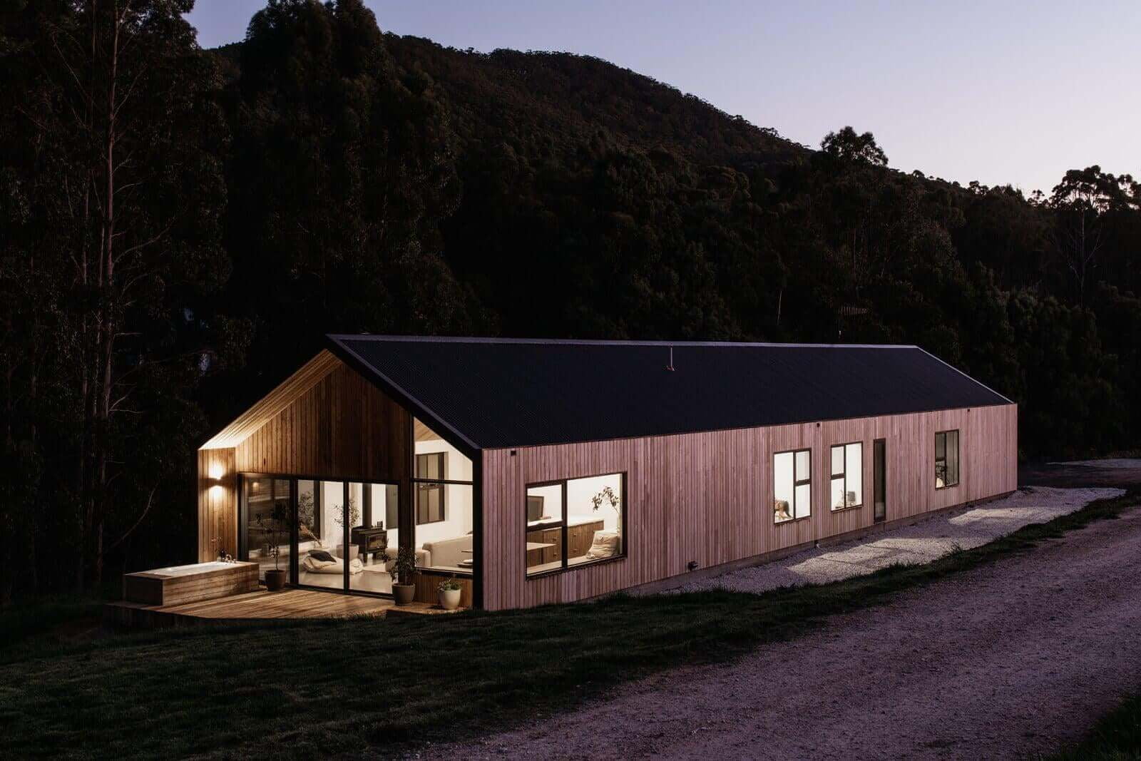
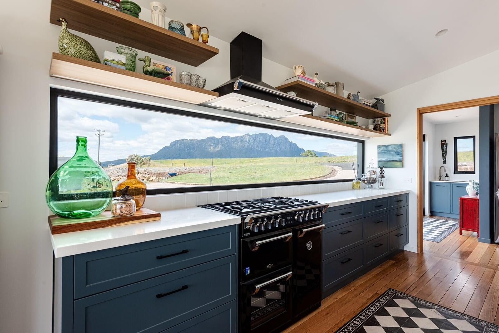
Our portfolio spans the north-west coast and greater Launceston — custom homes, high-performance builds, and award-winning residential projects designed for the Tasmanian climate.
Heybridge Building FAQ
What is Heybridge like to live in?+
How much does it cost to build in Heybridge?+
What are the planning requirements for building in Heybridge?+
Does Davies Construction build in Heybridge?+
Also building in
North-West Coast & Hinterland
Tamar Valley & Launceston
Midlands & East Coast
Southern Tasmania